
Coastal Zones Observed from Space – with Jérôme Benveniste
Abstract
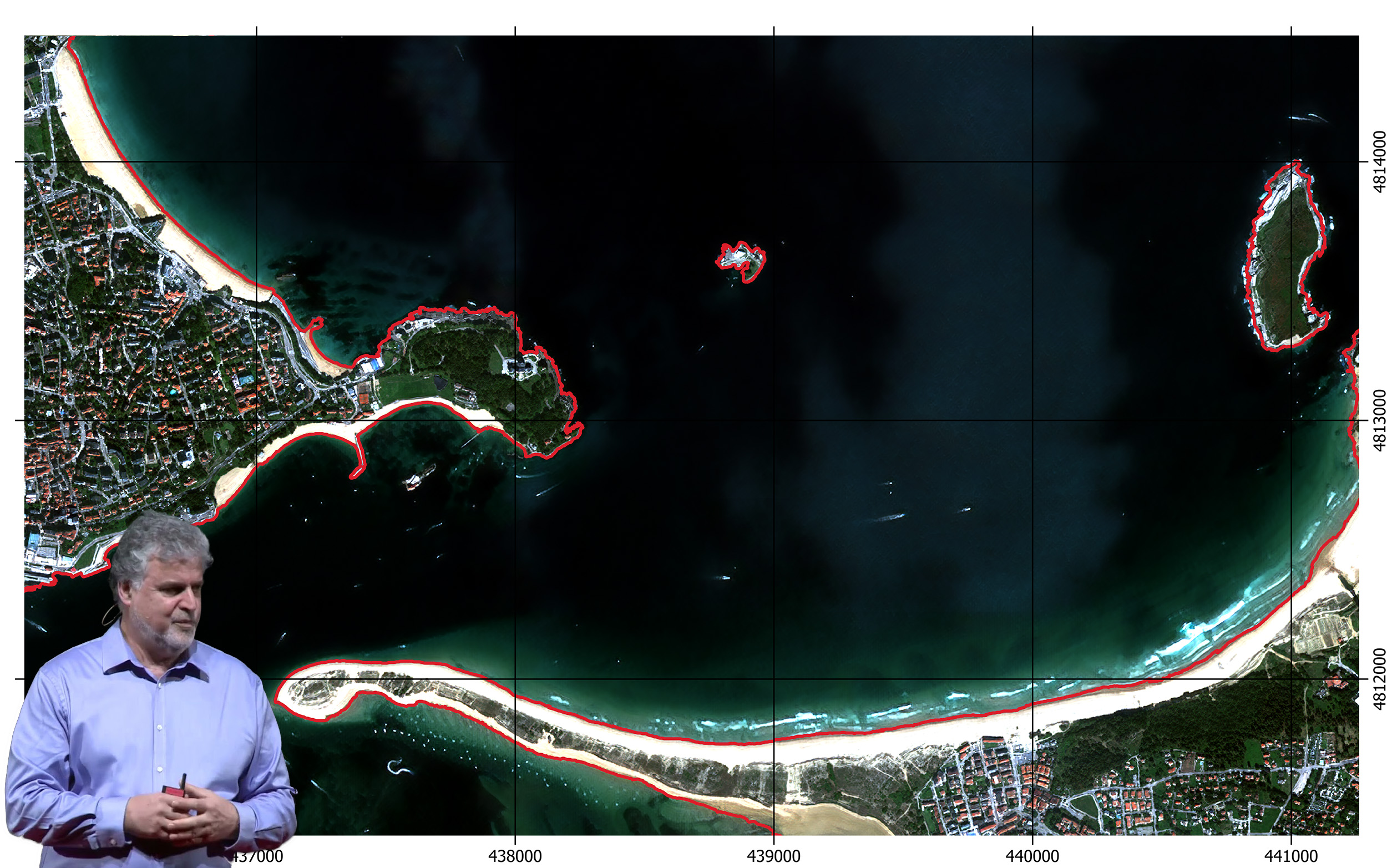
It takes several months to travel the oceans by ship, one hour and forty minutes for an Earth observation satellite to circle the Earth, and 24 hours for the Earth to present all its facets to this satellite. We can thus observe by satellite a myriad of parameters in a few days and in a repeated manner. The subject of this presentation is preferentially coastal sea level and extreme coastal ocean events. Coastal zones, home to vital ecosystems and growing populations, face severe threats from climate change, rising sea levels, hurricanes, tsunamis, and coastal erosion, all intensified by human activities. Enhancing coastal resilience has become a priority for governments and environmental advocates. However, understanding coastal processes is hindered by data gaps and the challenge of integrating satellite observations, in-situ data and modelling capacities. The frequency and impact of extreme events and resulting disasters continue to increase, requiring effective and continuous monitoring. Satellite Earth observation data provide a reconstruction of the processes involved in extreme sea level events and associated coastal risks, taking advantage of new capabilities and synergies offered by the latest advances in Earth observation technology, in particular developed for the European Space Agency’s Earth Explorer and the European Union’s Copernicus programmes. Scientific knowledge derived from the exploitation of Earth observation data improves fundamental scientific understanding and the predictive capacity of extreme compound (from sea to land and land to sea) events, as well as our potential to better assess associated risks, the vulnerability of coastal zones and long-term coastal evolution.
A short bio
Jérôme Benveniste received his PhD in Oceanography from Space from the University of Toulouse, France, in 1989. After a Post-Doc in space data assimilation in ocean models at MIT, Boston, USA, he was recruited at the European Space Agency. He has been at the ESA Earth Observation data centre near Rome, Italy, since 1992, where he was in charge of the ERS-1, ERS-2, ENVISAT, CryoSat, Sentinel-3 and Sentinel-6 radar altimetry data exploitation for Earth Science research activities in Oceanography, Hydrology and the Cryosphere. He interacted with ESA Principal Investigators, organised scientific symposia, which included training sessions, and regularly launched Research and Development projects, including GOCE and GRACE data exploitation. He was recognised as Senior Advisor at ESA in 2008. He is co-Editor of a Springer book on Coastal Zone Radar Altimetry, published in 2011, co-Editor of 5 others, and author or co-author of more than 140 peer-reviewed publications. He is Editor of a peer-reviewed Scientific Journal and Guest-Editor of 14 Journal Special Issues. He launched and monitored the ESA Climate Change Initiative Sea Level Project (2009-) and its sequel focused on the Coastal Zone, as well as other projects on Sea Level Budget Closure, Runoff, River Discharge, Ocean Heat Content, Eastern Boundary Upwelling Systems, Coastal oceanography and Coastal Hazards. He was retired from ESA in 2024 and pursues many academic activities in Oceanography and Hydrology as advisor in several Scientific Committees. He joined the COSPAR governance in 2008 as elected Chair of the Sub-Commission A2 “Ocean Dynamics, Productivity and the Cryosphere” in the “Space Studies of the Earth’s Surface, Meteorology and Climate” Scientific Commission. He is today Chair of that Scientific Commission A.
Follow the Livestream on the Space Renaissance YouTube Channel: https://www.youtube.com/live/syStR5C8dhk
and click ‘going’ on the Facebook Event: https://www.facebook.com/events/1747594839857076/